DRONEWERX
Professional aerial surveying and high-resolution imaging solutions tailored for your mapping, aerial photography and videography needs.
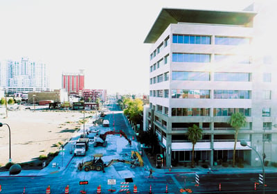
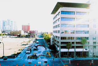
Drone Mapping & Photogrammetry
High-resolution aerial imagery for detailed analysis.
2D and 3D orthomosaic maps available
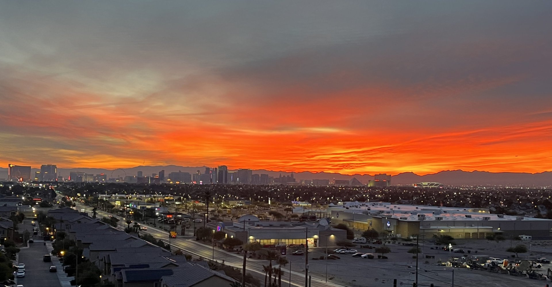
Aerial Videography
Custom video footage from an elevated perspective using drones to capture landscapes, cityscapes and events in a visually compelling way
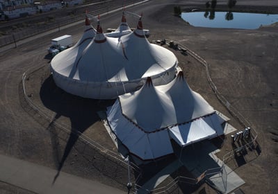
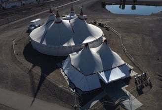
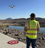
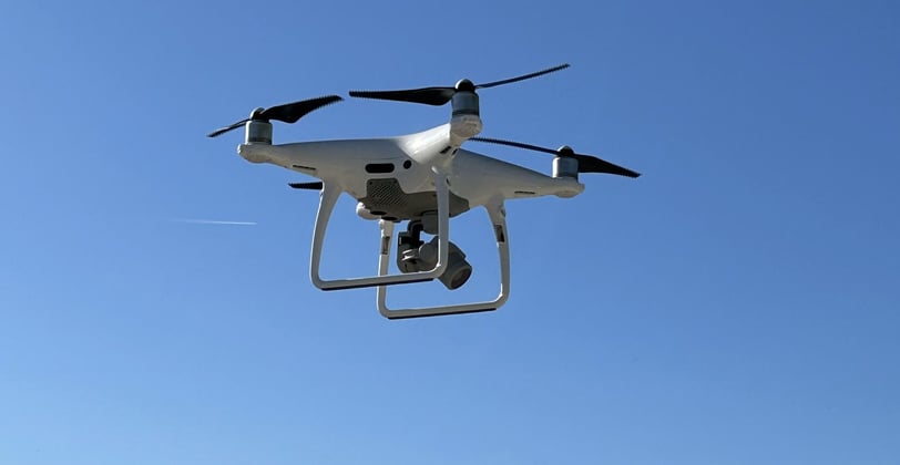
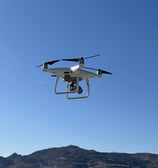
Specialized Drone photography services
Using advanced drones equipped with high resolution cameras and sensors to capture detailed and dynamic images
Aim high...fly high
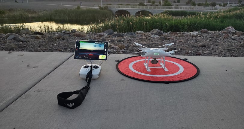
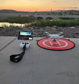
Drone Services
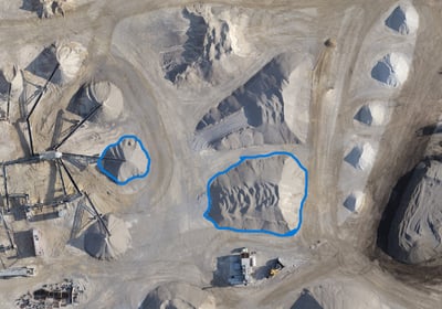
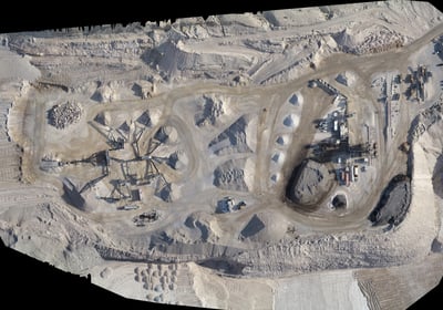
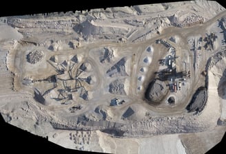
Stockpile Volume
Accurate reports on stockpile volume changes, including specialized tonnage calculations and detailed mapping.

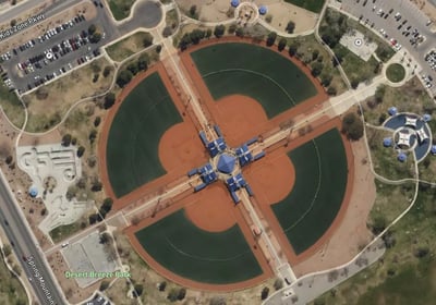
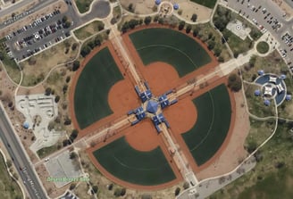
Orthomosaic Mapping
2D and 3D orthomosaic maps providing detailed visualizations for effective project planning and analysis.
Specialized reports for stockpile management, including tonnage calculations and precise labeling for efficient tracking.
Aerial Imaging
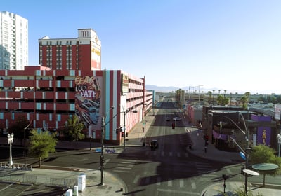
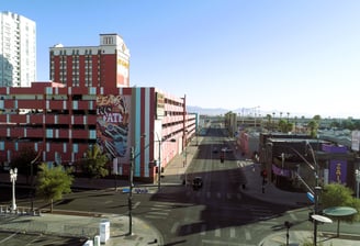
Real Estate Photography - Aerial shots for listings, property tours.
Photography & Videography
Photography and Video - Weddings, festivals, sports events.
Specialized Drone Photography Services
For more information or to schedule a consultation, please call 702- 808-6244 or email us at dronewerxpro@gmail.com

Dronewerx provided exceptional aerial surveying services, delivering precise geospatial data and comprehensive maps that greatly enhanced our stockpile volume reporting.
Jerod Longchamp

★★★★★