Drone Services
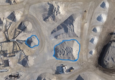
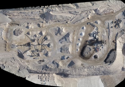
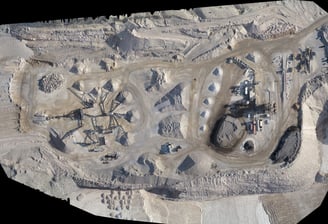
Stockpile Volume
Accurate reports on stockpile volume changes, including specialized tonnage calculations and detailed mapping.

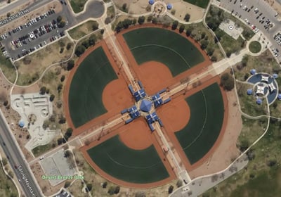
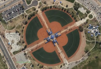
Orthomosaic Mapping
2D and 3D orthomosaic maps providing detailed visualizations for effective project planning and analysis.
Specialized reports for stockpile management, including tonnage calculations and precise labeling for efficient tracking.
Aerial Imaging
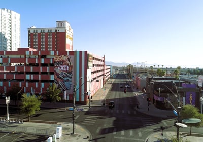
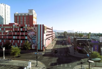
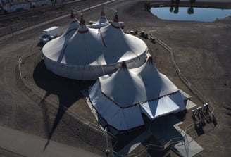
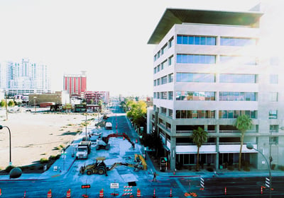
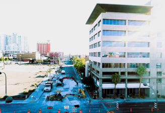
Real Estate Photography - Aerial shots for listings, property tours.
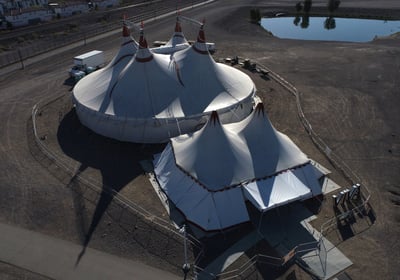
Photography & Videography
Photography and Video - Weddings, festivals, sports events.
Specialized Drone Photography Services